
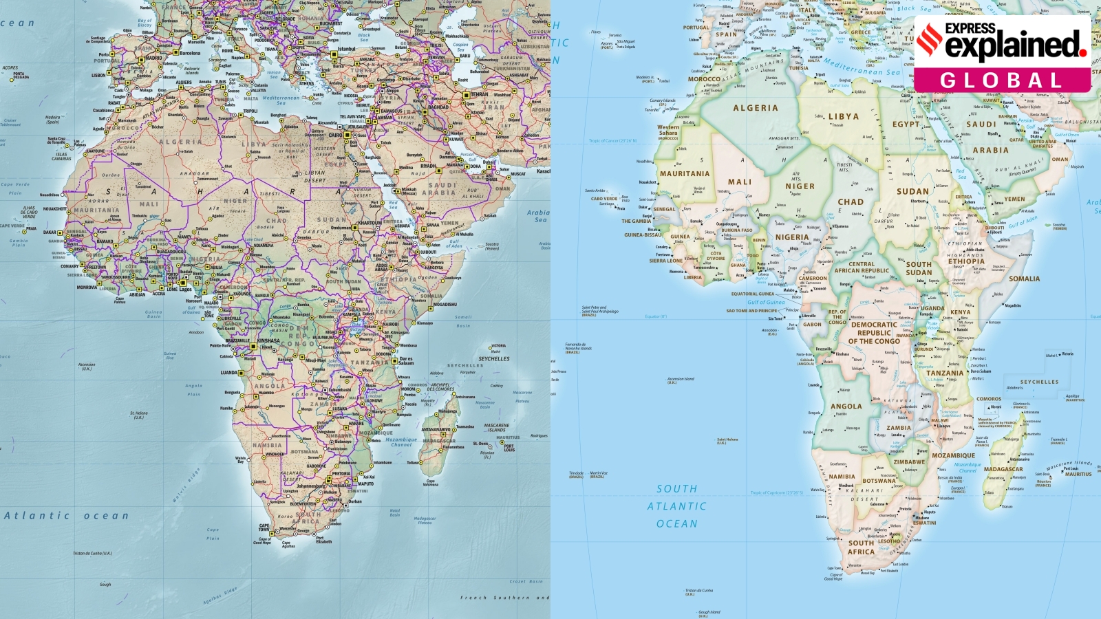
Equal Earth map aims to improve global representation
The story in brief
No flat map can accurately represent the globe, as all projections involve trade-offs. The Winkel Tripel projection, created in 1921, aimed to reduce distortions in area, distance, and direction. The Mercator map, popularized in the 16th century, distorted landmass sizes, particularly inflating western Europe. The Equal Earth projection, developed in 2018, offers a more accurate representation of landmass sizes.