
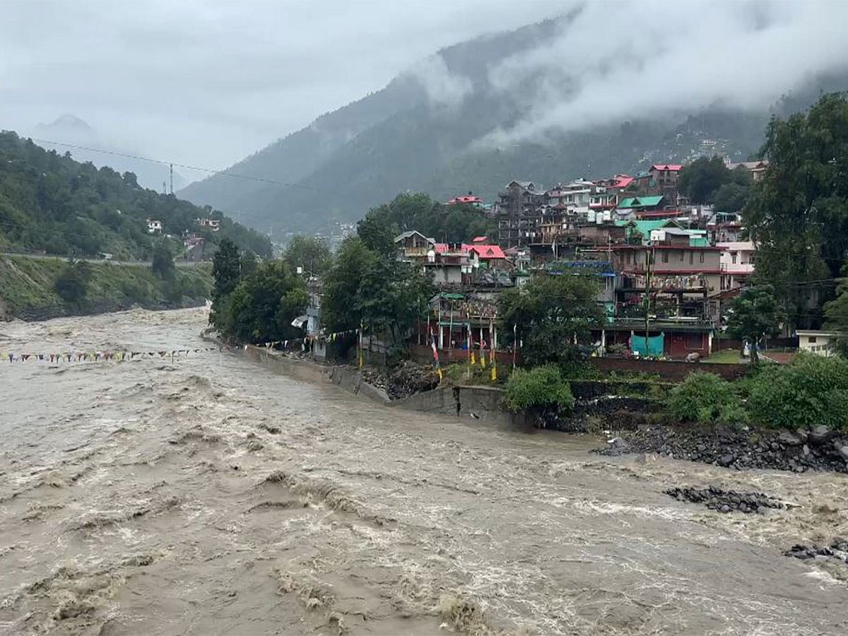
Beas flood zones mapped for early evacuation
The story in brief
The BBMB and IIT-Roorkee are mapping flood risk along the Beas river, dividing vulnerable areas into Red, Blue, and Green zones to enhance emergency response. A mobile database for alerts is being developed, with a draft report expected in six months. The 135-km study covers Pandoh Dam to Dehra, identifying at-risk populations and properties. Districts Mandi, Hamirpur, and Kangra will be notified before dam releases, with alerts based on risk zones.