
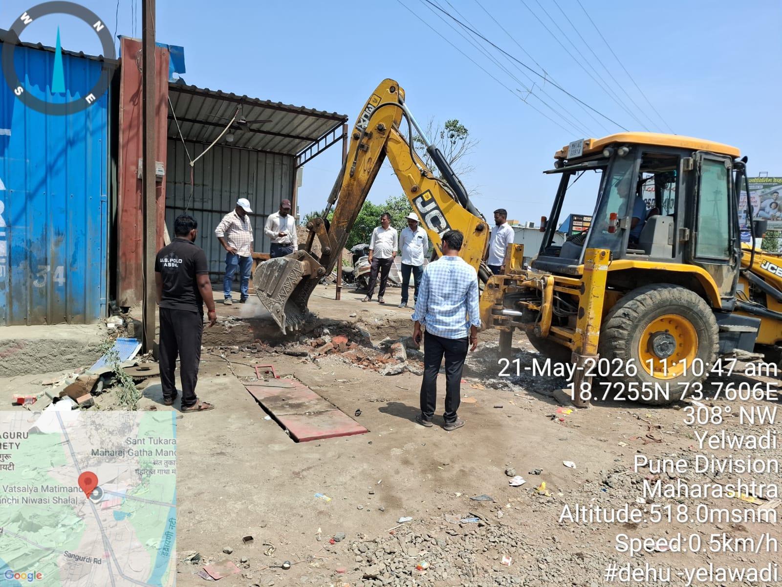
PMRDA to Launch GIS App for Encroachment Tracking
The story in brief
PMRDA plans to develop a GIS-based app to track encroachments, aiming to manage land records and detect unauthorized constructions. The app will enable field officials to collect geo-tagged data and inspection reports, supporting efforts to identify encroachments on government land and reserved plots. The system could use satellite and drone images to compare building footprints with approved plans.