
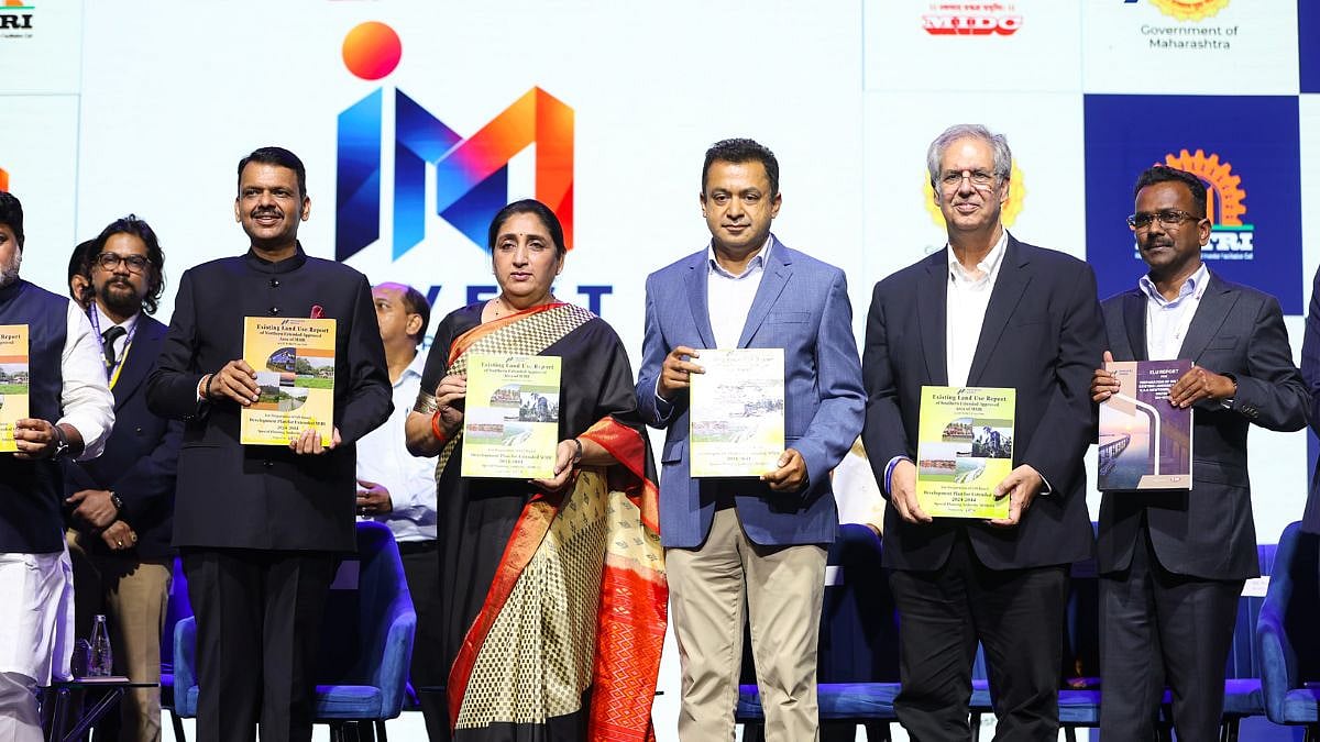
MMRDA Completes 2,008 Sq Km Land-Use Mapping for Mumbai 3.0 and 4.0
The story in brief
MMRDA completed ELU reports for Mumbai 3.0 and 4.0, covering 2,008 sq km across 565 villages in two-and-a-half months. The database will support master planning for urban, logistics, commercial, and industrial growth while considering agricultural land and environmental resources. MMRDA plans to use the ELU database for creating digital twins and scenario models to assess development impacts.